Climbing a dog route in July is normally an "easy" summit for a well prepared team, but not in 2020. MRNP was closed to car traffic for most of the spring. Disappointment Cleaver was more like an intermediate route and not even climbed until about a month before our trip. There were a lot of changes and restrictions in place. Everything came together nicely in the last few weeks before the climb. The weather was perfect. It was warmer than normal, but not too hot and it was unusually calm, even on the summit.
Alex, Nate, Ross, Nathan and Doug ready to take on the mountain.
We camped at 11,100' Ingraham Flats with a great view of our route up Disappointment Cleaver and the Ingraham Glacier.
House sized blocks of teetering ice near our camp.
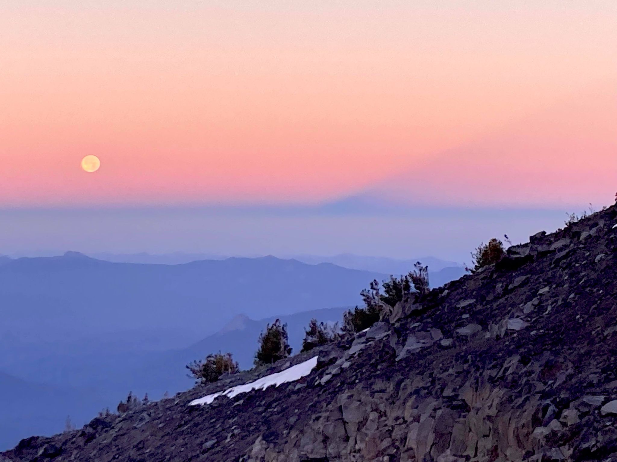
Sunrise from 14,000'!
Doug, Nathan, Ross, Nate and Alex on the summit.
Locomotive sized seracs ready to topple at any moment!
Checking out the view from the spine of DC. Little Tahoma in the background.
A few hours later, we were in the parking lot barbecuing hot dogs and then home in time for dinner!