Mt. Rainier, Lower Nisqually Glacier 9-3-11


Foursquare Mountaineering took a trip up to Mt. Rainier to have some fun and hone our mountaineering skills.  We set out to find the biggest, baddest crevasse on the lower Nisqually Glacier.  We found it!  It had deep vertical walls made of hard ice.  It was topped off with a layer of last winter's soft snow.  We spent the day rappelling, ice climbing, prusiking and setting up a z-pulley rescue system.
The first thing we did was set up a few bombproof anchors and safety lines.  Dan, Dennis, Jim and Caroline.
Dennis, Jim and Doug watching Dave finish his climb up from the bottom.
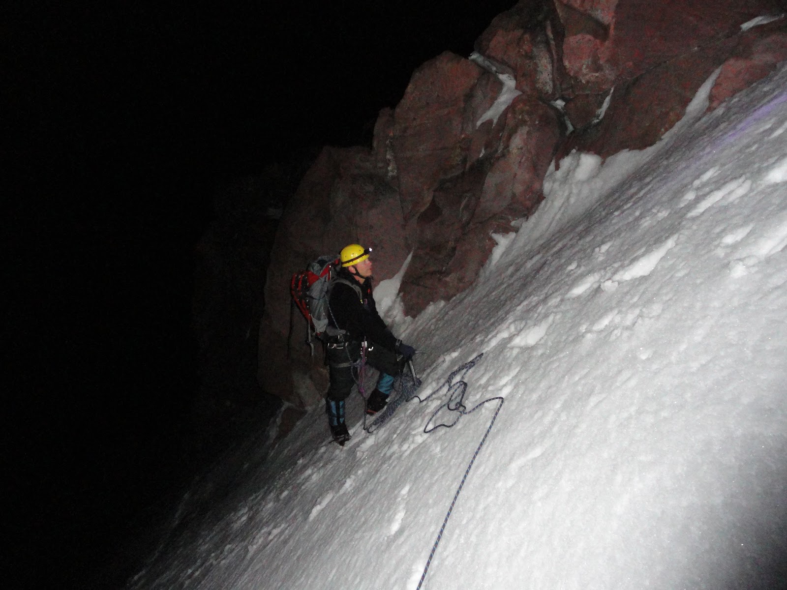
Jim rappelling into the abyss.
Dan moving up the rope with ascenders.
We even managed to find a snow bridge on the way out.

It was good to spend the day up on the mountain with friends.  Now some of those harder routes on Rainier seem just a little bit easier and if one of us falls into a hidden crevasse, we will all know what to do.  

Ingalls Lake 8-27-11

If you are looking for some awesome scenery close to home, Ingalls Lake is the place to go.  Dave, Dani, Wendy, Mark (and Doug) taking a break on the way up to Ingalls Pass.
We saw a lot of mountain goats on this trip.
It was a warm day and people were cooling off in the lake.
Mt. Stuart and Ingalls Lake.  What a view!

Mt. Adams, South Climb 7-9-11

Mt. Adams as seen from Trout Lake.  There was still a lot of snow on the mountain.
This was the first year that we were not able to drive to the trailhead. There were snow banks and a lot of downed trees blocking the way. We had to hike over 2 miles and 900 vertical feet just to get to the trailhead.
Even though there was a lot of snow down low and up high, we were pleased to discover that there was less than last year at Lunch Counter (9,300').  There were plenty of dry tent sites and running water.
Climbers making their way up the south face to the false summit.
Just keep putting one foot in front of the other.
One group of climbers on the summit.  They are about 4,000’ higher than Mt. St. Helens, in the background.
Another group on top.  It was about 32 degrees and windy on the summit.

Climbing a mountain gives you a real feeling of accomplishment. You take on a big challenge with no guarantee of success.  You are actually out doing something that most people only dream about. Climbers must deal with the weather, snow conditions, high altitude, lack of sleep, loss of appetite, dehydration and fatigue, all while trying to maintain a positive mental attitude.  This year was harder than most. It was a big accomplishment just getting to Lunch Counter.  Congratulations to those that made it to the summit.

Mt. Shasta, Avalanche Gulch 6-25-11


Mt. Shasta had been on our radar for a while and since northern California had a good forecast, we decided to head south.  It is the second highest volcano in the lower 48 (Rainier is the highest).  This is the view from the trailhead at Bunny Flat (6,900').  The huge valley in this photo is Avalanche Gulch.  The route starts up the left side, goes around Helen Lake (10,400') and ends up on the right side.
We seem to spend a lot of time standing still and looking up.  The snow was firm and allowed us to make good time.  
We made it above the Red Banks in time to see the sunrise. There is nothing like watching a sunrise from high up on a mountain.  It was starting to get cold and windy. 
The shadow of Shasta is projected onto the countryside as the sun comes up.  Next, we had to climb a feature called Misery Hill and a few false summits.  We finally made it to the true summit.
Doug and Dave on the summit.  You would think that northern California would be warmer on June 25th, but it was cold at 14,162'!
When the conditions are good, you can glissade about 3,000' down this route.  The snow was still too firm, so we had to walk down.  There were still a lot of climbers heading up.  

All that was left was the long drive home.  We got to see a bunch of deer, antelope, turkey vultures and about 10 more snow covered volcanoes.

It was fun to take a road trip to a new area and finally climb this giant.

Mt. Rainier, Furher Finger 6-5-11

Mt. Rainier finally had a good weekend forecast, so it was time to attempt the Furher Finger route.

Our route is shown in red. We descended the Kautz Glacier route, shown in blue.
Dave on the Nisqually Glacier passing some crevasses on our way to high camp.
Our camp at Turtle Rock (9400').

We got an "alpine start" at midnight, so we could hopefully get to the top and down before the snow got too soft.  Dave moving up Furher Finger.

Doug near the Hourglass.
Doug and Dave on top with a little snow falling.
Dave below the steep pitches on the Kautz Glacier, just above the Turtle Snowfield.


The weather was great on day one and OK on summit day. The fresh snow from a few days earlier made the climb pretty tiring. We ended up using our snowshoes to keep from sinking into the mushy snow on the way down from high camp.


It was fun and challenging to climb a new route on Rainier.