
Mt. Shasta had been on our radar for a while and since northern California had a good forecast, we decided to head south. It is the second highest volcano in the lower 48 (Rainier is the highest). This is the view from the trailhead at Bunny Flat (6,900'). The huge valley in this photo is Avalanche Gulch. The route starts up the left side, goes around Helen Lake (10,400') and ends up on the right side.

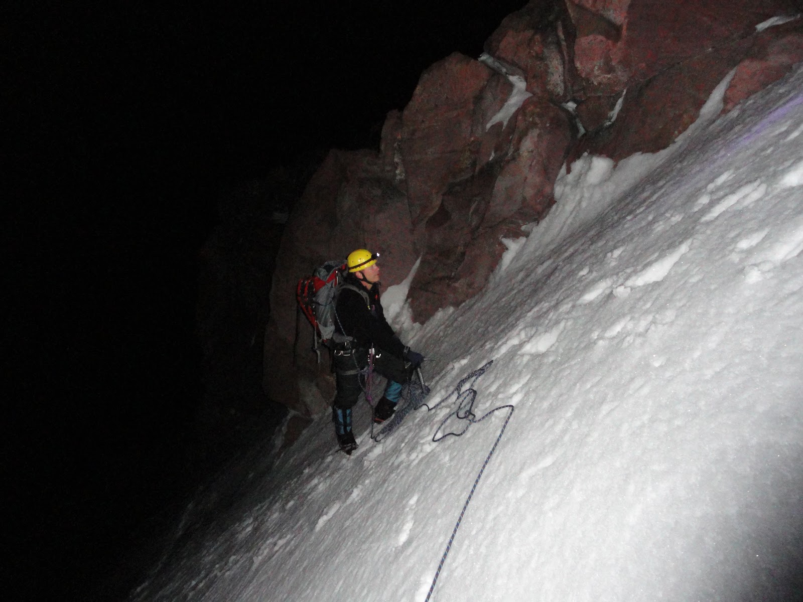
We seem to spend a lot of time standing still and looking up. The snow was firm and allowed us to make good time.

We made it above the Red Banks in time to see the sunrise. There is nothing like watching a sunrise from high up on a mountain. It was starting to get cold and windy.

The shadow of Shasta is projected onto the countryside as the sun comes up. Next, we had to climb a feature called Misery Hill and a few false summits. We finally made it to the true summit.

Doug and Dave on the summit. You would think that northern California would be warmer on June 25th, but it was cold at 14,162'!

When the conditions are good, you can glissade about 3,000' down this route. The snow was still too firm, so we had to walk down. There were still a lot of climbers heading up.
All that was left was the long drive home. We got to see a bunch of deer, antelope, turkey vultures and about 10 more snow covered volcanoes.
It was fun to take a road trip to a new area and finally climb this giant.

 Our route is shown in red. We descended the Kautz Glacier route, shown in blue.


